Is there a verified How to Fish map?
No complete, verified How to Fish map is available in the collected materials. There are no trustworthy coordinates, island outlines, measured paths, spawn markers, or NPC placements to publish. All exact layout data is To be confirmed.
This page therefore provides an island-level data index rather than drawing a fictional world. A real-world state map and a map video for a different game were rejected during source filtering. Neither can support How to Fish locations.
Which broad areas are verified?
The consolidated fish-and-boss material identifies the Lighthouse and Islands 2, 3, 4, and 5 as broad areas. The official game description confirms a progression loop in which quests and bosses unlock new islands with more dangerous creatures and better equipment. It does not publish their shapes or physical arrangement.
| Area | Verified data available | Exact layout |
|---|---|---|
| Lighthouse | Standard catches and Spider Crab boss | To be confirmed |
| Island 2 | Standard catches, Giant Piranha, The Old Pike | To be confirmed |
| Island 3 | Standard catches, Blue Shark, Pufferfish | To be confirmed |
| Island 4 | Standard catches, Tuna, Albatross | To be confirmed |
| Island 5 | Standard catches, Goblin Shark, Bowhead Whale, Mutated Bowhead Whale | To be confirmed |
The numeric labels describe progression names in the source, not compass order or distance. Do not arrange them on an image without evidence. Travel methods, arrival points, boundaries, and transitions are To be confirmed.
What location detail is available for the 3rd island quest?
A collected player report says leeches can be found in water to the right of the farmer woman’s house and that one should be given to her for 3rd-island progression. This is a relative instruction, not a map coordinate. The NPC’s exact name, house marker, compass bearing, and route are To be confirmed.
The 3rd island guide preserves that wording without converting “right” into east or drawing an unsupported path. The leeches guide also explains why real-world leech material was excluded. These links provide quest context while keeping the map honest.
What catch data can future markers use?
At the Lighthouse, the verified names are Rock Crab, Shrimp, Lobster, and Spider Crab. Island 2 lists Piranha, Mackerel, Gar, Pike, Cod, Goldfish, Perch, Triggerfish, Giant Piranha, and The Old Pike. These are area associations, not exact spawn points.
Island 3 lists Angelfish, Boxfish, Catfish, Sea Urchin, Seahorse, Clownfish, Bluegill, Salmon, Needlefish, Blue Shark, and Pufferfish. Island 4 lists Parrotfish, Voxelfish, Bass, Halibut, Eel, Tigerfish, Flying Fish, Sengarat, Red Snapper, Tuna, and Albatross. Island 5 lists Anglerfish, Blobfish, Oarfish, Superdwarf Fish, Stonefish, Goblin Shark, Bowhead Whale, and Mutated Bowhead Whale.
Future markers can attach those names only after a screenshot or reproducible current-patch observation confirms a position. Until then, the all-fish guide is the correct island-level reference. Catch rates and sub-zones remain To be confirmed.
Which NPC locations are known?
The collected progression report mentions a farmer woman and her house in relation to leeches and the 3rd island. It does not establish her official name or exact map position. No other NPC coordinate in the supplied material is strong enough to map.
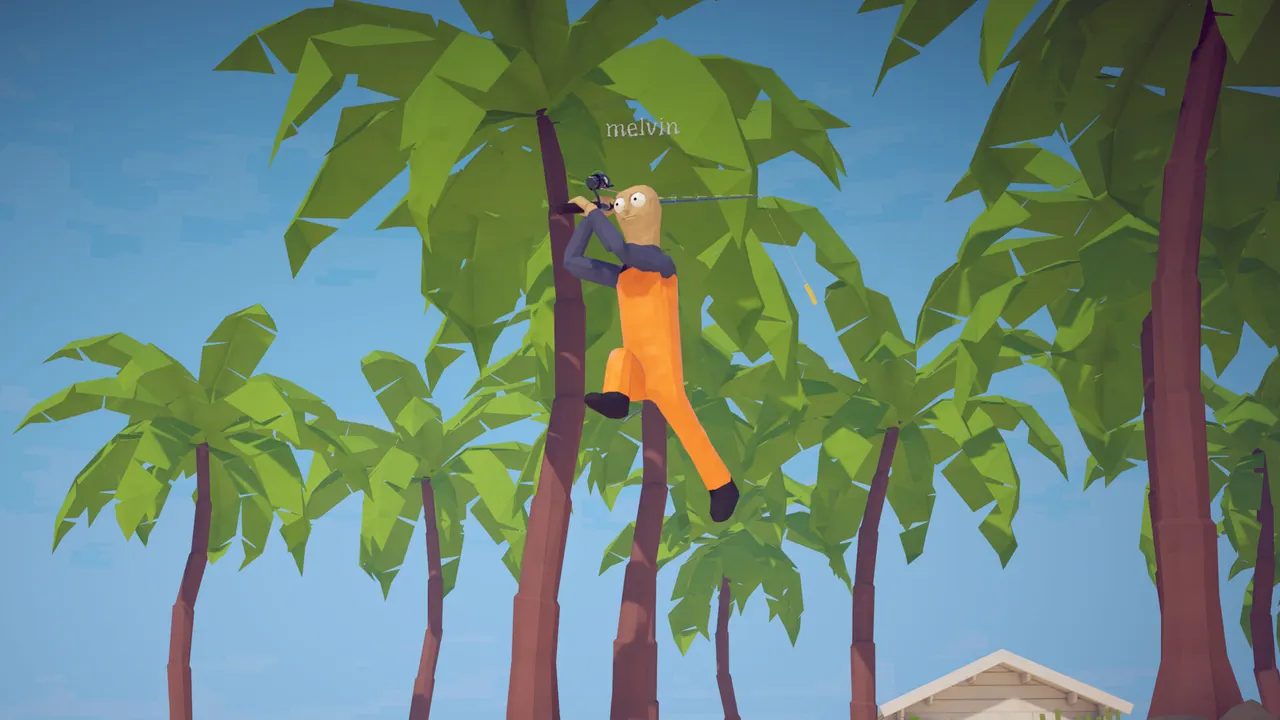
An interactive map should not add a guessed vendor, quest giver, weapon shop, boat, or teleport marker. Screenshots may show world scenes, but visual presence alone does not establish a reusable coordinate. Every NPC marker requires a current label and location record.
Which boss locations are known?
Bosses are verified only at the area level: Spider Crab at the Lighthouse; Giant Piranha and The Old Pike on Island 2; Blue Shark and Pufferfish on Island 3; Tuna and Albatross on Island 4; and three listed bosses on Island 5. Exact arena positions are To be confirmed. The order in the boss table does not create a route.
The Pufferfish material includes community combat advice involving trees or circular movement, but it does not provide coordinates. That is enough for a tactic section, not a map pin. A boss marker should wait for an identifiable current-patch landmark or measured map reference.
How will a future interactive map be structured?
The future data model should separate area, markerType, label, coordinates, patch, evidence, and verifiedAt. Marker types can include fishing area, boss, NPC, quest item, vendor, travel point, and landmark only after each is supported. Unknown coordinates should remain null rather than being approximated.
Filters should allow players to show one island, catch tier, boss, quest, or service at a time. Each marker should expose its evidence status and patch date so a stale pin is visible. The interactive layer should remain optional, with this text index as an accessible fallback.
What evidence is required before adding a marker?
A marker needs a current in-game screenshot or video frame, a readable location or objective label when available, the game version, and a repeatable route from an already verified landmark. A second independent observation is useful for anything patch-sensitive. Community wording can begin an investigation but should not become a coordinate by itself.
The page must also distinguish fixed locations from moving creatures or temporary quest states. If a spawn varies, record the supported area instead of a single precise pin. If the coordinate system itself is unknown, it remains To be confirmed until the interface exposes or a verified map establishes one.
What map claims are intentionally excluded?
This page excludes invented island silhouettes, compass directions inferred from screenshots, travel times, distances, hidden paths, spawn percentages, and coordinates copied from unrelated games. It also excludes real-world geographic maps. None is supported by the supplied How to Fish evidence.
Unavailable data is a useful result because it shows exactly what future research must collect. The page can expand without rewriting its truth boundary: add verified markers, keep null fields for unknowns, and retain patch dates. Until then, the island index is the complete supported map content.
Was this guide helpful?
Let us know if we can improve this guide.
Thanks for the feedback!